Hurricane Isaias faced strong winds as it moved across warm Gulf waters. The wind influence is evident in the storm’s lopsided rain bands, primarily pushed to its northeast, on Oct. 8, 2026. NOAA
This article by Christopher Davis, UMass Amherst is republished from The Conversation under a Creative Commons license. Read the original article.
Hurricane Isaias shattered the peace of one of the quietest Atlantic hurricane seasons on record as it grew into 2026’s first Atlantic hurricane and made landfall on the northern Gulf Coast near Destin, Fla., late on Oct. 9.
The Category 2 hurricane’s storm surge reached 5.6 feet at nearby Panama City Beach as it crossed the coast. Forecasters warned of damaging wind gusts over a large portion of the southeastern U.S. and flooding rain as the storm moved inland toward the Appalachian Mountains.
Isaias tied a 1905 storm for the latest-forming first hurricane of a season on record. To understand why it was able to strengthen into a hurricane when no other storms in the first two-thirds of the 2026 season did, let’s take a look at what was going on in the atmosphere.
As an atmospheric scientist who has studied hurricanes for years, I can tell you that wind shear and the climate phenomenon known as El Niño both play important roles.
Hurricane Isaias faced strong winds as it moved across warm Gulf waters. The wind influence is evident in the storm’s lopsided rain bands, primarily pushed to its northeast, on Oct. 8, 2026. NOAA
Usually, Atlantic hurricane activity hits its peak in September. In a typical season, the Atlantic region experiences five hurricanes and two major hurricanes by early October. Having no hurricanes until Oct. 7 is nearly unprecedented in the Atlantic hurricane record.
The main culprit is likely El Niño.
El Niño is a climate pattern that occurs every few years when ocean surface temperatures in the central and eastern Pacific Ocean heat up. That heat can influence weather around the world – including Atlantic hurricanes.
How El Niño influences weather around the world, including Atlantic hurricanes.
The 2026 El Niño was already strong by late summer, and forecasters expected to see it become one of the strongest El Niño events on record.
When the waters of the eastern Pacific warm substantially, they create more rising air over the eastern Pacific, and with it, more widespread thunderstorm activity. The net effect is a current of rising air that flows northward across portions of Central America. This flow turns toward the east in the Northern Hemisphere because of the Earth’s rotation, and it increases the westerly winds across the tropical Atlantic.
Winds near the surface blowing from the east, along with winds at higher altitudes blowing from the west, create vertical wind shear. Wind shear makes it harder for hurricanes to form because it disrupts any deep column of moisture that tries to organize into a vortex.
El Niño has another effect on Atlantic hurricane formation: With more rising air above the eastern Pacific warm waters, air tends to subside over the tropical Atlantic and become dry. Hurricanes need lots of moisture, so dry air makes it harder for one to form.
 Under normal atmospheric circulation, air in the eastern tropical Pacific sinks, leaving drier air in that region, while the tropical Atlantic has moist, rising air that can fuel hurricanes. During El Niños, however, that flips – the eastern tropical Pacific Ocean is wetter, creating strongly rising air and more Pacific hurricanes, while the region where Atlantic hurricanes typically form is drier and less stormy. NOAA
The tropical Atlantic was hit with both vertical wind shear and dry air in 2026.
Most of the storms that managed to form in the Atlantic earlier in 2026 did so to the north of the region of vertical shear and dry air, but it is rare for storms forming at those higher latitudes to become strong hurricanes.
 The hurricane storm tracks in 2026, through Oct. 8, show that most storms formed in northern areas. Typically, storms that become strong hurricanes form farther south and travel through the Caribbean. But dry air and wind shear made formation difficult in 2026 – Isaias is storm No. 9. NOAA
So how did Isaias manage to break through?
First, Isaias did not form in the deep tropics, where many of the strongest hurricanes originate. That region is still seeing plenty of wind shear. Isaias formed over the western Gulf of Mexico (also referred to as the Gulf of America) instead.
In early October, vertical wind shear in the western Gulf weakened and a small region of enhanced moisture moved over the western Gulf. Both of these factors made hurricane formation more likely, and exceptionally warm water provided fuel for the storm that formed.
Isaias organized rapidly in this environment.
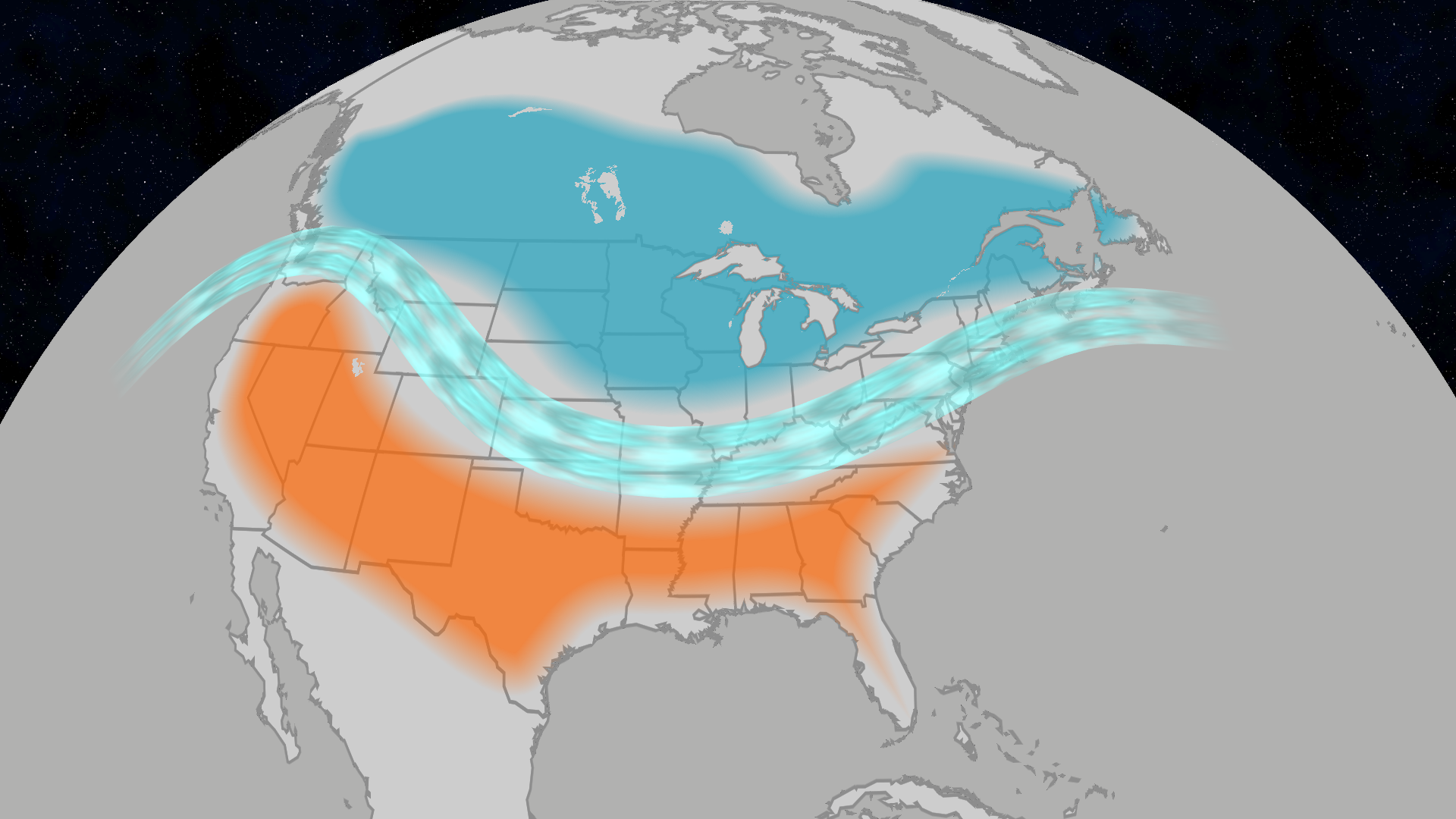
But, as is often true with late-season hurricanes approaching the U.S., the jet stream is not far away. While Isaias strengthened, vertical shear also started increasing – not due to El Niño, but because the jet stream tends to dip farther south as autumn sets in.
Isaias grew into a dangerous storm, but it could have been even stronger without the effects of wind shear.
The rapid emergence of Isaias is a reminder that a slow start to the hurricane season doesn’t mean a quiet end. The season does not end officially until Nov. 30.
Atmospheric conditions often change considerably in October from what they were in July through September as temperatures fall. So coastal regions can’t let their guard down yet – the season could bring more surprises.
Posted by Guest Author on Monday, 12 October, 2026

 |
The Skeptical Science website by Skeptical Science is licensed under a Creative Commons Attribution 3.0 Unported License. |